A collection of water resources and geospatial projects showcasing data-driven solutions for sustainable water management across California.
Geospatial Analysis, NASA Grant Project · 2022-2023
Environmental Justice For Prisons
At the Geospatial Centroid, I worked alongside Caitlin Mothes to choose and process open source datasets and calculate percentile scores in three separate categories: climate, exposure, and proximity-based effects.
Each prison was then assigned a vulnerability score which combined all risk factors. This project taught me about managing a repository and working with large data.
Served as the geospatial technician, water resource model support, and project data manager for all tasks for the reports.
Geospatial: developed layout template, basemap, and new figures for the Cuyama 2024 Annual Report (AR), 2025 Groundwater Sustainability Plan (GSP), and Groundwater Conditions reports using ArcGIS Pro and QGIS. To see my work, open the 2025 GSP document and look in the lower left corner of figures for "dhunt".
Modeling: Utilized python and QGIS to incorporate yearly land use, ET, and other water usage parameters to the IWFM model, CBWRM.
ArcGIS Pro · QGIS · IWFM · Python
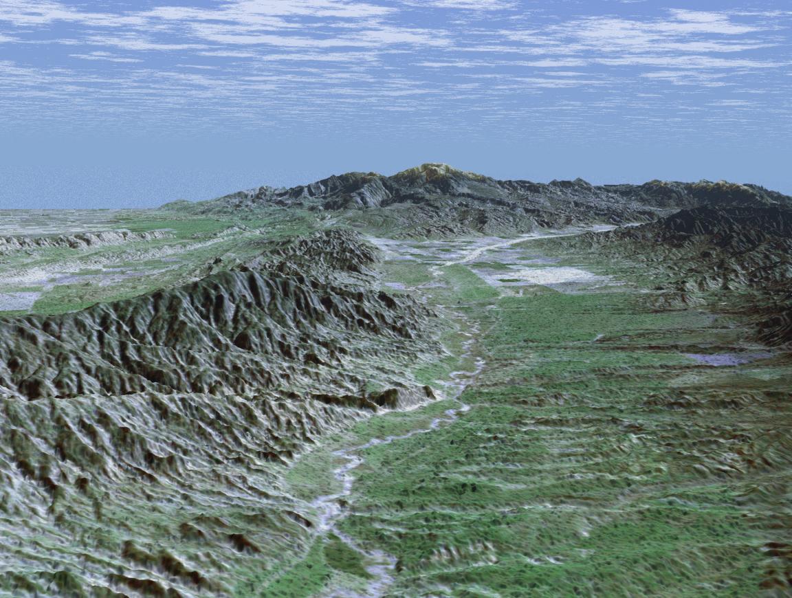
NASA, 2001
SRTM Perspective View with Landsat Overlay: Caliente Range and Cuyama Valley, California
Groundwater Management, Spatial Analysis · 2023
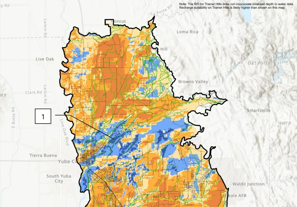
Yuba Subbasins Recharge Analysis
Computed Recharge Suitability Index (RSI) scores using open-source geospatial data for the Yuba Subbasins. This analysis identified optimal locations for groundwater recharge projects.
By combining soil permeability data, slope analysis, land use classifications, and proximity to water sources, I created a comprehensive index score and suite of figures that guides decision-making for water management authorities.
Yuba Water. (2023b, December). Recharge Suitability Index: Development and Results.
Programmed a script to calculate Seasonal populations from Advanced Metering Infrastructure (AMI) data. This analysis helped clients comply with California requirements for Urban Water Use Objectives (UWUO).
R-language script wrangled, cleaned, and processed >8 million records from 21,000 households. Algorithms within script adhered to Methods for Estimating Seasonal Populations with Water and Energy Data (DWR, 2022).
R · Data Processing · Statistical Analysis
Geospatial Management, Contract Support · 2024
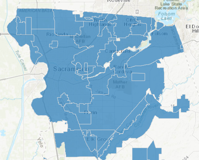
Harvest Water Program
Updated project figures and managed geospatial data for the Sacramento Sewer District's Harvest Water Program.
Created advanced plots for legal OFCA supply contracts, supporting implementation of Title 22 water delivery to local farmers within the study area.
GIS · Contract Management · Water Law
Soil Analysis, Field Testing · 2024
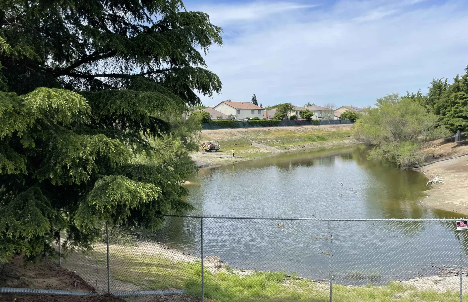
Infiltration Feasibility Study
Conducted initial identification of existing drainage basins for percolation field tests, including spatial analysis of soil profiles and infiltration scores using SAGBI and SSURGO data.
Oversaw borehole drilling and percolation tests, documenting soil characteristics at 5-foot intervals across three boreholes to identify layers preventing deep percolation.
Field Testing · Soil Analysis · GIS
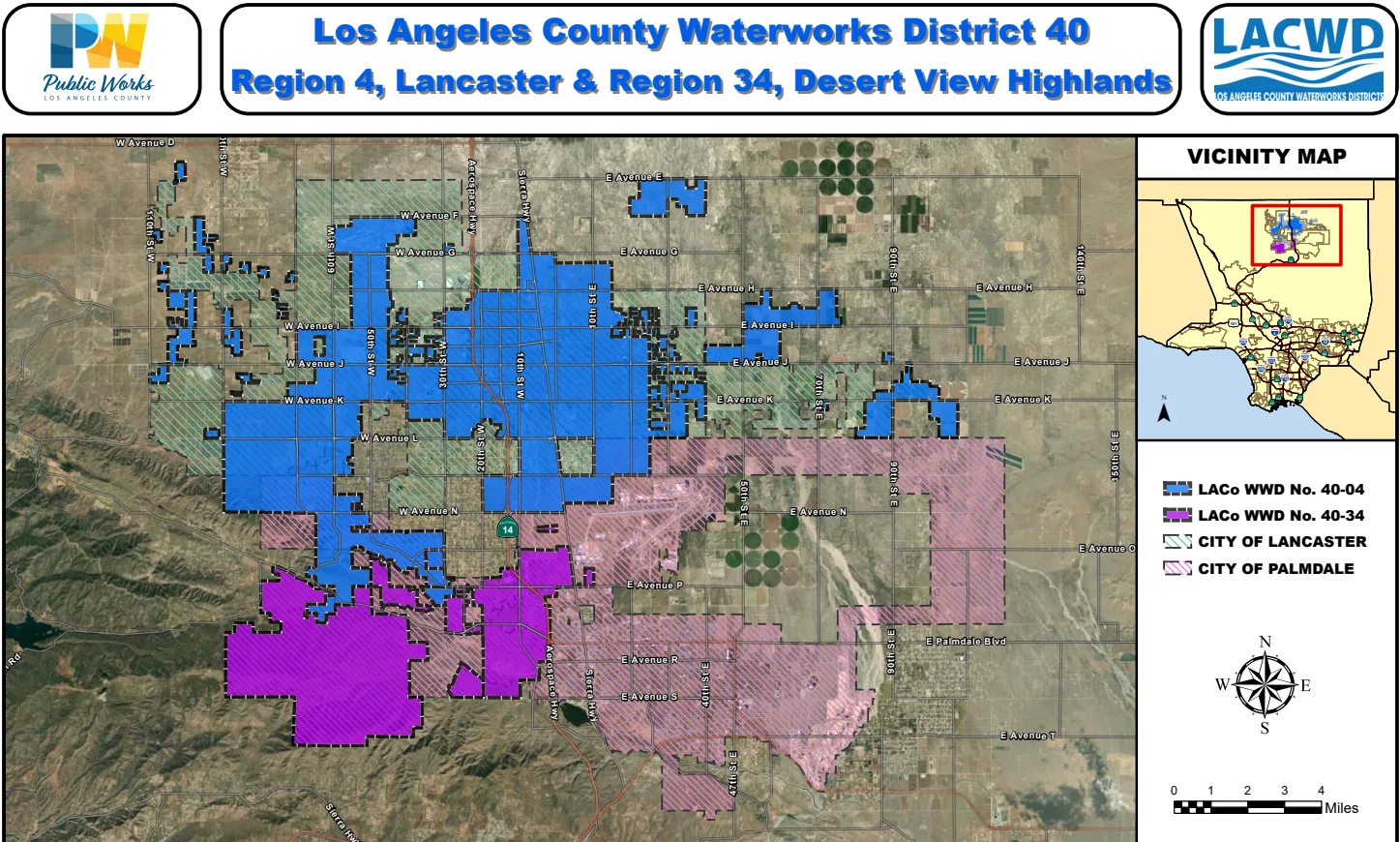
Suitability Analysis, Water Infrastructure · 2024-Present
Antelope Valley Well Resilience Study
Led geospatial analysis to create suitability scores for new well sites in Antelope Valley, combining land use, water quality, hydrogeologic, and infrastructure data.
Systematically weighted and binned over ten separate datasets to produce composite parcel-level scores. Created figure templates and documented data sources and analytical reasoning in technical memorandum supporting final site recommendations.
GIS · Suitability Analysis · Water Infrastructure
This is the westernmost portion of District 40, spanning Palmdale and Lancaster.
Data Processing, Dashboard Development · 2024-Present
Watershed Hub Dashboard
Performed exploratory analyses on multiple metrics for the California Department of Resources Watershed Hub dashboard project.
Fetched data from available APIs, then cleaned and processed results for upload to ArcGIS Online. Enhanced metric processing scripts with AI-assisted loggers, error-tracking, and summary reporting features.
APIs · Data Processing · Dashboard Development · ArcGIS Online
Water Quality Monitoring, Regulatory Compliance · 2024-Present
Quarterly Groundwater Conditions Reports
Produce quarterly National Pollutant Discharge Elimination System (NPDES) groundwater conditions reports from client-collected monitoring data across six wells.
Analyze depth to water measurements to estimate groundwater elevation and horizontal gradient. Use data interpolation and visualization techniques to provide comprehensive descriptions of water characteristics and constituent distributions.
Water Quality Analysis · Regulatory Compliance · Data Visualization